
The Army has a saying: No plan ever survives first contact. I should’ve remembered that when I made plans to take part in a docent-led tour of the Murray Springs Clovis Site. How hard can it be to travel back 13,000 years to the Ice Age in the southern Arizona desert? By the way, I chose the hottest day of the year so far (it was nearly 90 degrees) to seek out remnants of the Ice Age.
The Murray Springs Clovis site is just south of Sierra Vista. The Bureau of Land Management website’s instructions told me to head down Arizona State Route 90, turn left on Moson Road and then drive 1.1 miles (http://www.blm.gov/az/st/en/prog/cultural/murray.html). So that’s what I did. Except I drove all the way to the end of Moson Road looking for a sign to direct me to Murray Springs but never found one.
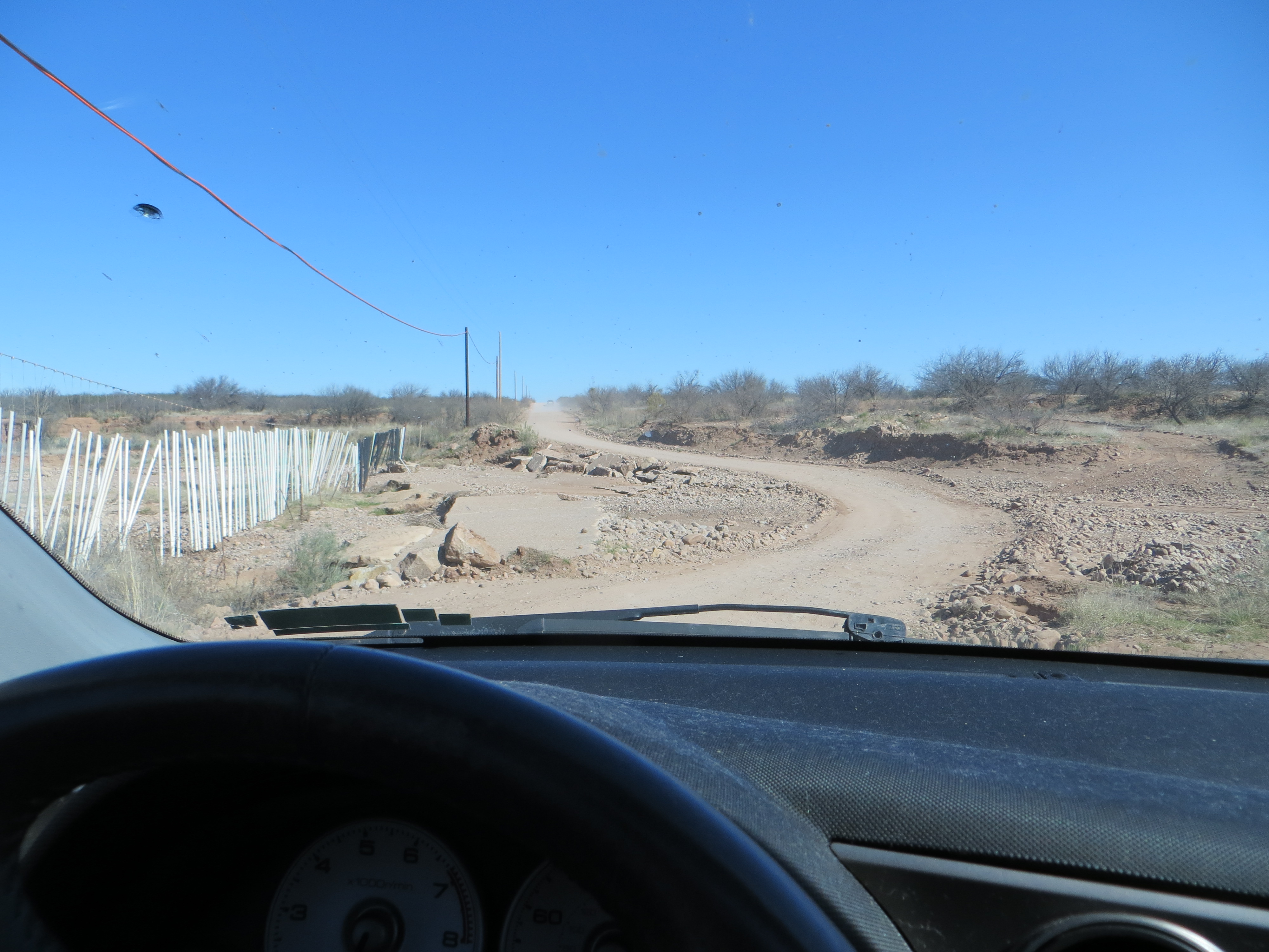
An undaunted citizen of the digital age, I pulled to the side of the road and punched up the GPS on my phone. The GPS wouldn’t steer me wrong, right? I fly down the road, cross the San Pedro River, enter a maze of dirt roads running through private property and then finally encounter a locked gate at the end of the road less travelled. The driver ahead of me came up to my window and asked me if I was lost. When I explained that I was looking for Murray Springs he told me that I was extremely lost. Murray Springs was on the other side of the San Pedro. Oh dear. Not only had my initial plan not survived first contact, but Plan B was toast too.
The GPS never lies, or does it?
Now I had to try and retrace my route and find my way out of the maze back to the highway. A couple of false turns later, I’m back in business. As the lyrics of the classic Clash song, “Should I Stay or Should I Go,” run through my mind, I have a decision to make. Do I give up completely or move on to something else? The quirky mining town of Bisbee beckons at one end of the highway and the San Pedro House at the other. I save an exploration of Bisbee for another day and decide to pop in to the San Pedro House on my way home. I will live to find Murray Springs another day, and figure having good directions will increase the likelihood of a future successful mission.
The San Pedro House sits near the banks of the river and is run by the Friends of the San Pedro, the same group that organized the tour I couldn’t find. This place is a mecca for birding. The San Pedro River is a super highway for migratory birds. They are everywhere taking advantage of dozens of feeders on the property. You can hear the high pitch chirping of hummingbirds as they whizz past you. I know my curiosity will compel me to return for an avian adventure.
The San Pedro House is a birding mecca.
I go inside the house to communicate my search for Murray Springs using human sounds with the very nice lady at the register (although I get the sense she speaks fluent bird chirps) . She provides me with some intelligence that explains my failure to find the site on my first attempt. The sign on the road is missing and there is only one road you turn right on off of that section of Moson Road. She gives me a map. Armed with actionable intelligence, I’m ready to storm the objective.
Skeptical but determined, I head down the road on my third attempt to find Murray Springs. I turn at what looks like a cattle gate. I pull up closer to read the sign attached to it, and notice a small BLM symbol on it. Maybe the third try is a charm? I take the risk and continue down the dirt road to finally reach the Clovis site. I’m ecstatic.

Eureka! Good intelligence = mission success.
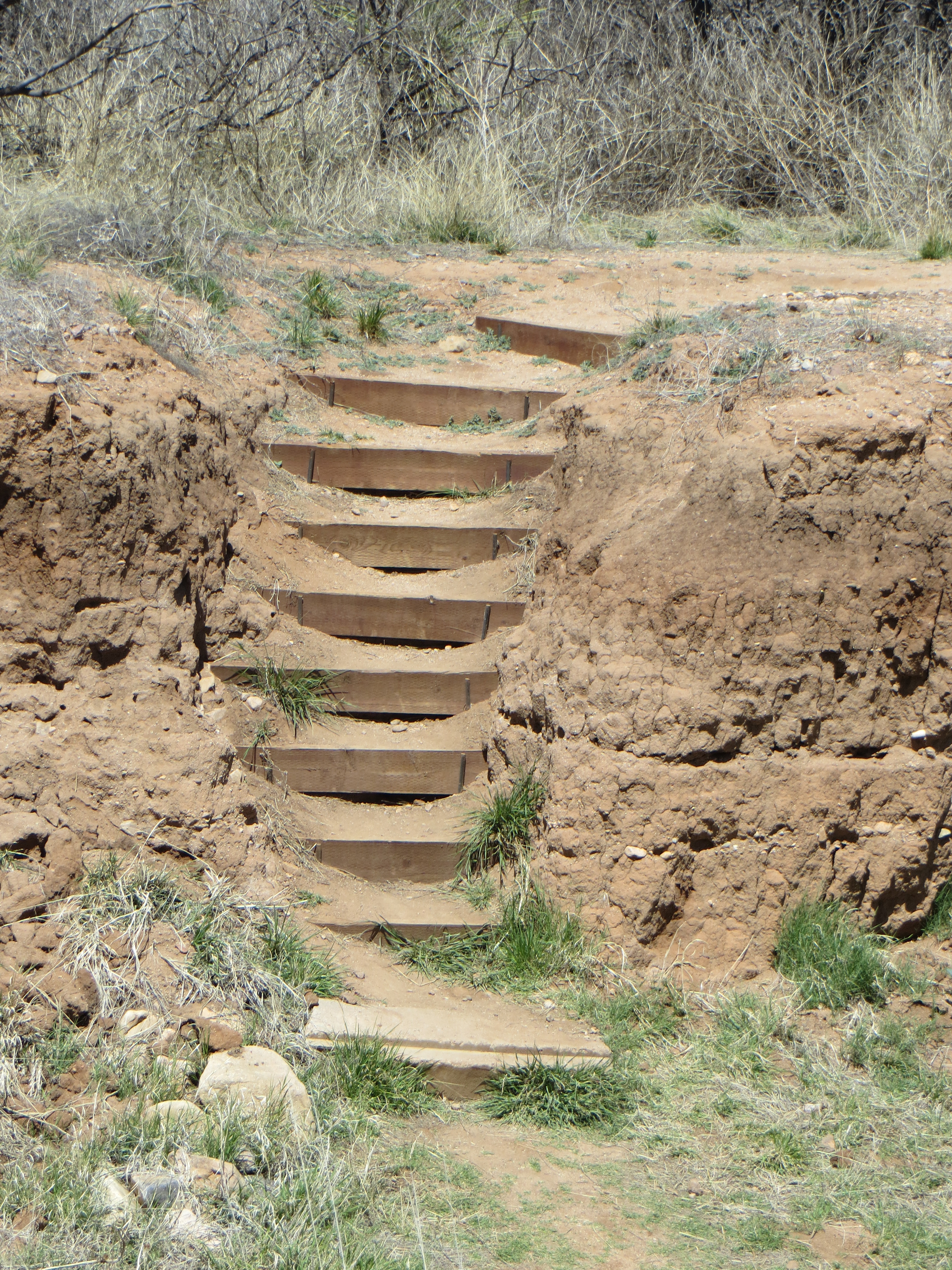
I pull in to the large parking lot, grab some water and hit the trail. It’s a easy walk with lots of signs to direct me to the interpretive loop. The loop crosses a stream bank. The steps that lead down to it and back up again are mildly challenging. In the stream bank, I notice three arrows sticking in the ground.
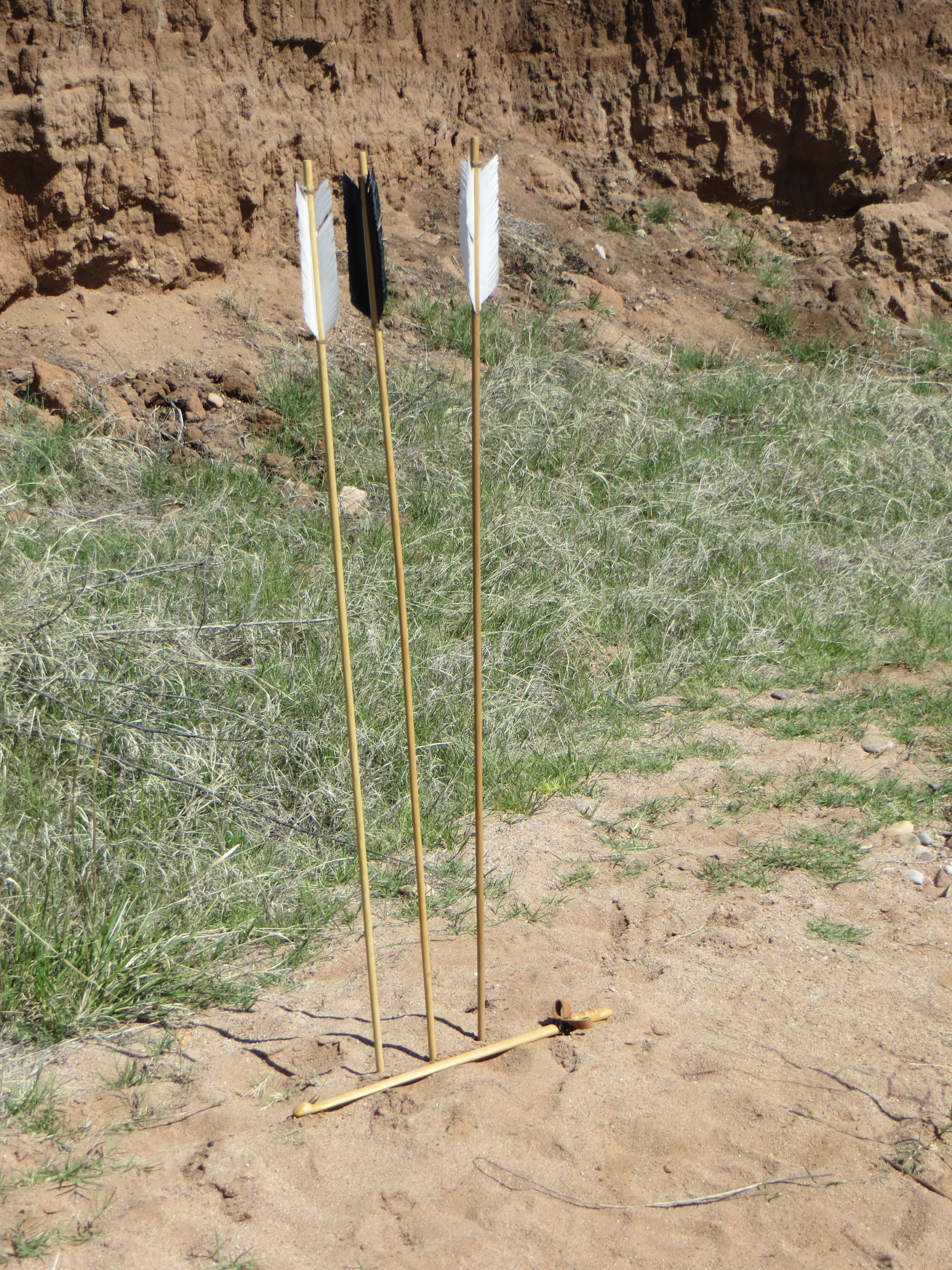
Interesting, but definitely not Ice Age artifacts.
I assume they are somehow related to the docent led tour I missed and find them interesting enough to stop and photograph them. I take a look around and meet Chris Long, a docent for the Friends of the San Pedro.
She begins to point out some of the geological features of the streambed to me. The dark layer is a black mat that was formed 12,900 years ago. Fossils are found at the bottom of that mat. Her husband Dwight is leading today’s tour and Chris tells me the group should be coming back shortly and sure enough they do.
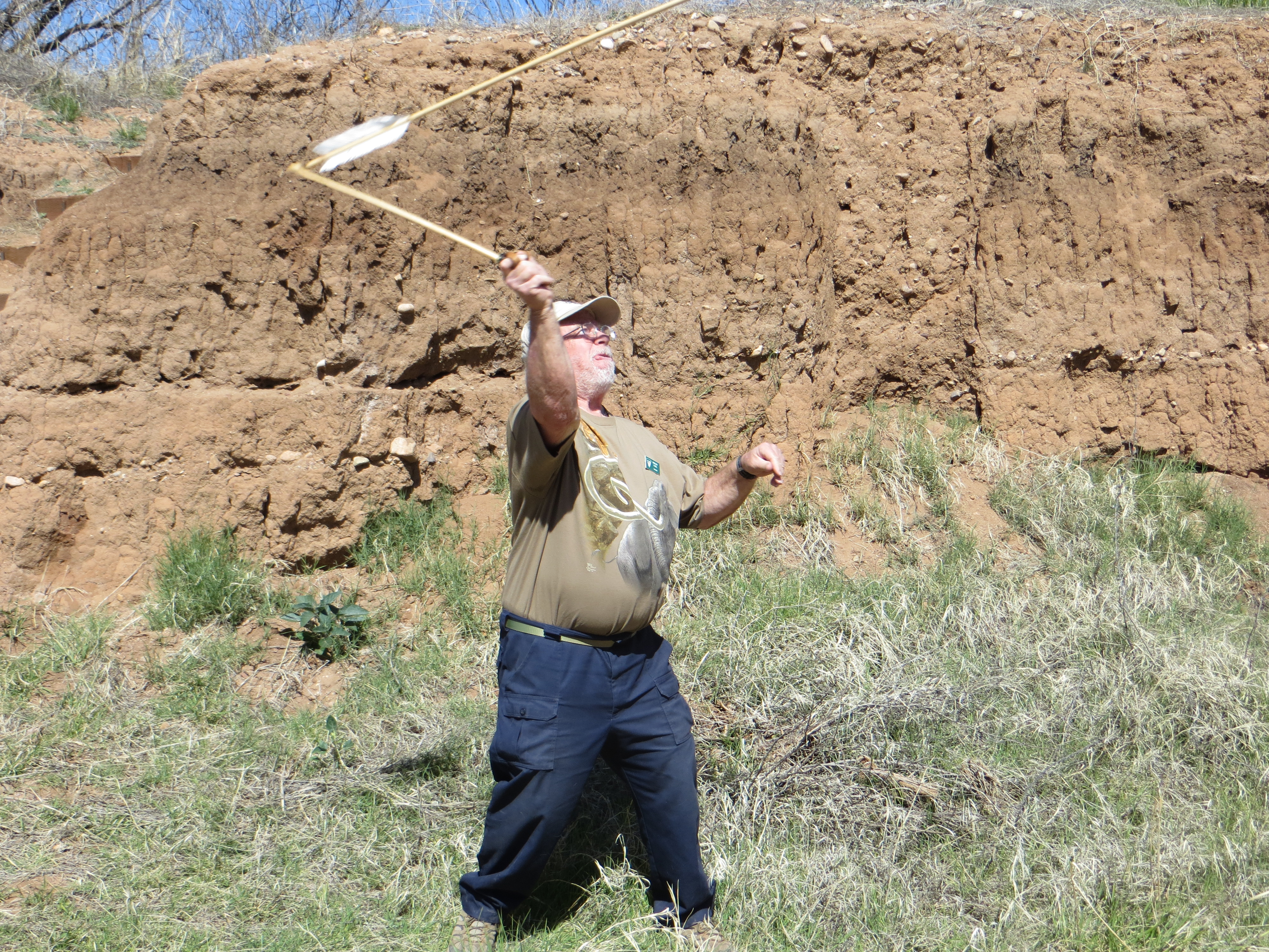
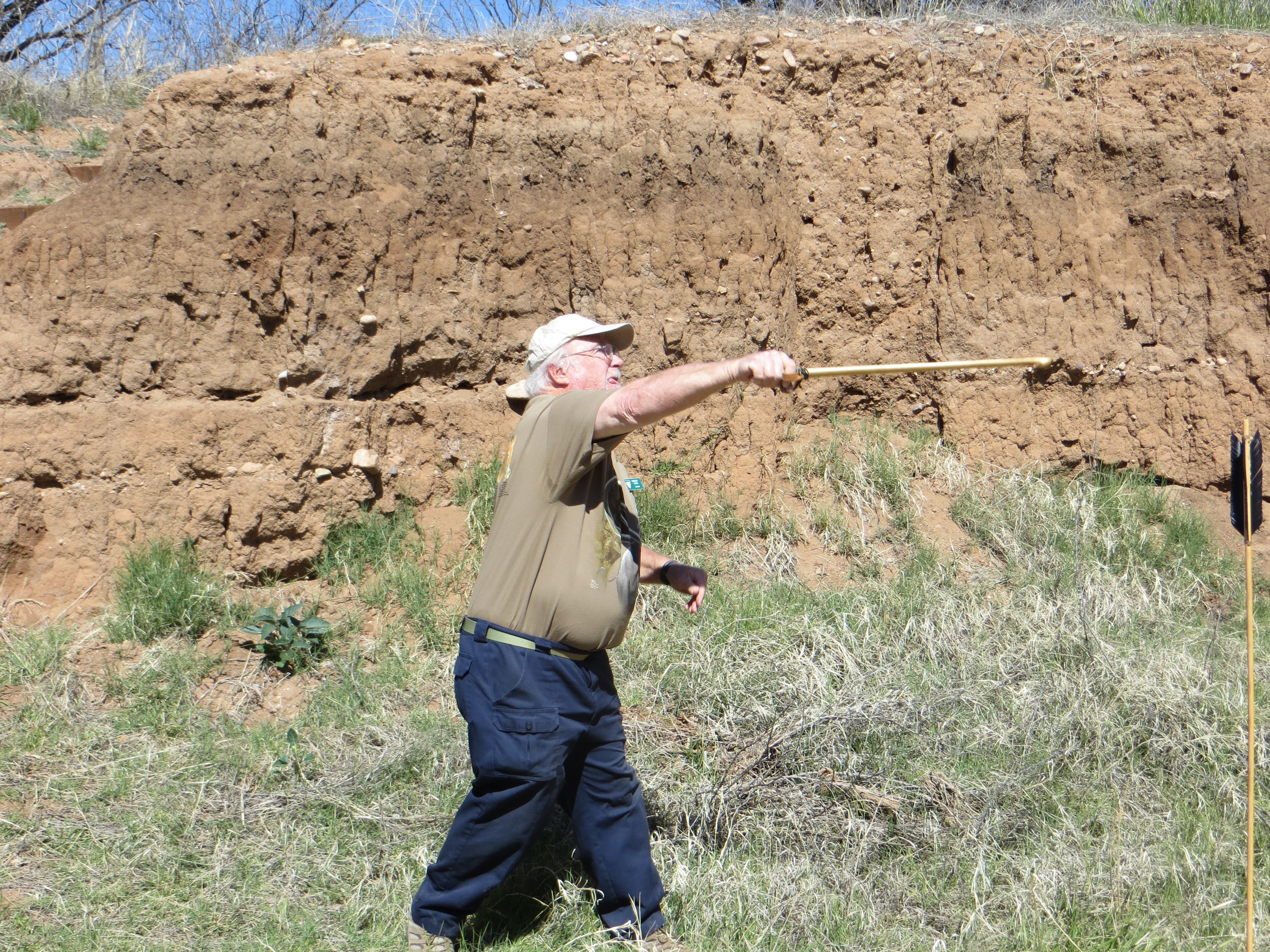
With the arrival of Dwight and the tour group, the meaning of the arrows is explained. Using a throwing tool called an atlatl, it is believed that Clovis people used them to hunt game. Aztecs and Mayans also used the tool. Europeans used a version of the same thing.
The Murray Springs Clovis Site was created by nomadic hunters who stayed in the area to pursue large game, such as mammoth, horses, and bison. Archaeologists call them “Paleoindians.” The term Clovis comes from the first site archaelogists found near Clovis, New Mexico in the 1930s with their distinctive artifacts.
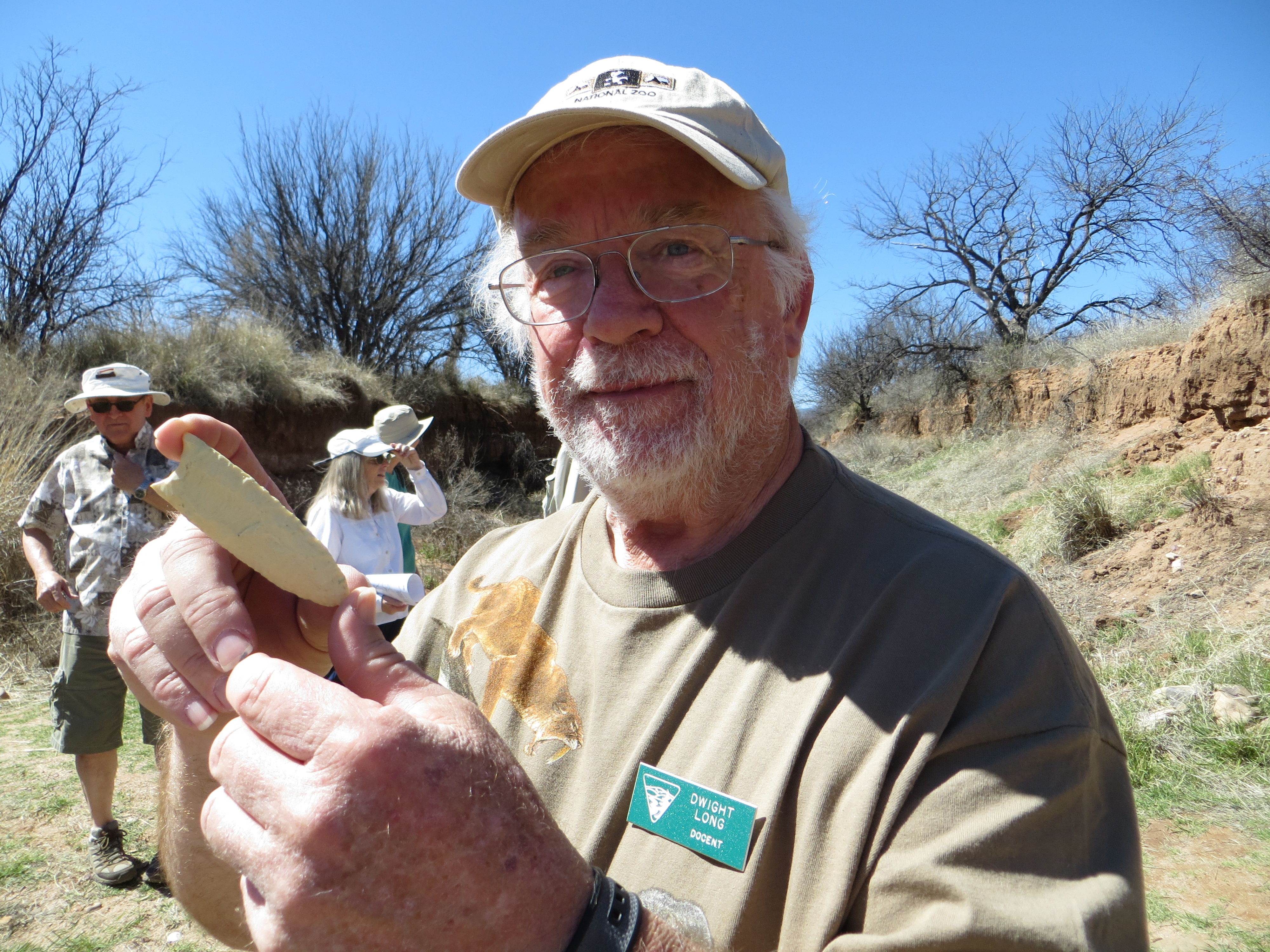
Dwight shows me a replica of a Clovis tool.
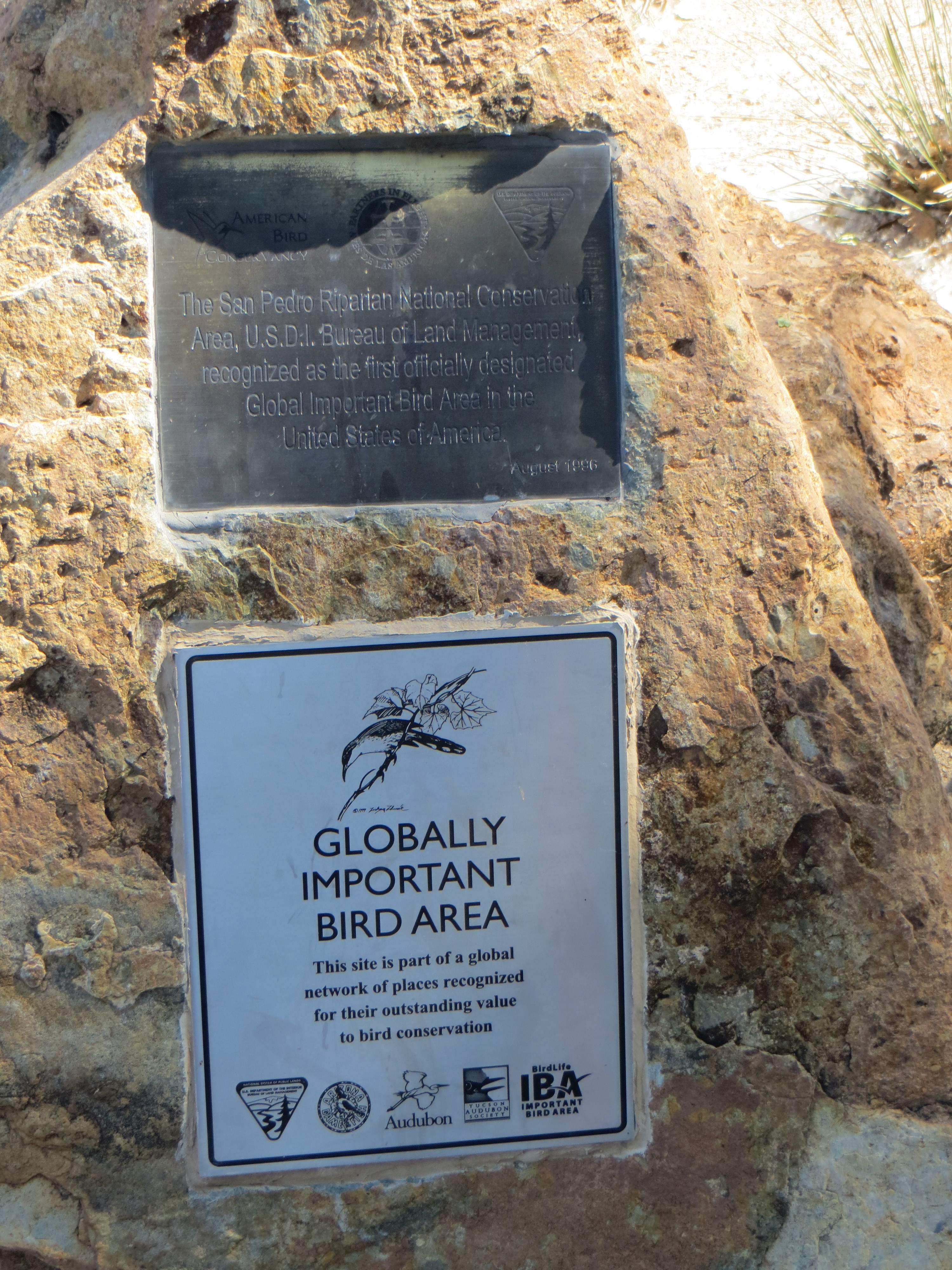
It is one of the most important and well documented early human sites in North America. The site has yielded the most evidence of Clovis stone tool manufacture in the entire Southwestern U.S., and the evidence of large mammal butchering and use at the site is unsurpassed. The Murray Springs Site was created between 12,000 and 13,000 years ago, in the late Pleistocene era, by a small group of Clovis people, who camped nearby, and who hunted large animals as they came down to water in the arroyo.
The excavation was done between 1966 and 1971 at Murray Springs. It is one of six Clovis sites in the San Pedro Valley. There are more Clovis sites in Arizona that just about anywhere else. Dwight claims this is one of the most significant sites in the world. Archeologists found remains of three mammoths, one which was butchered, 12 bison, camel, lions, dire wolves and other game animals.
After I get the facts, things begin to get very interesting. Dwight picks up what appears to be a stick with the ends wrapped in rawhide. It’s an atlatl he explains. The stick has a small knob sticking of it. The shaft of the arrows have an indentation at the end of them. Hunters would fit it onto the knob of the atlatl and hurl the arrow at prey. The atlatl puts more force into the arrow and allows it to go a further distance. Then Dwight makes things even more interesting by picking up an atlatl, notching an arrow on to it and letting it fly down the stream bed. Even today, this ice age tool is pretty impressive.


Stepping way back into Arizona’s past.
Following Dwight’s fascinating demonstration, I haul myself up the steps and out of the streambed and walk the interpretive loop. There are signs all along the loop to explain the history and signicance of what was found at this Clovis site. The large interpretive signs deliver a lot of information. Benches are strategically situated beneath trees and a ramada prove relief from the sun and give visitors the opportunity to take in the scenery and process all the information. Dwight catches up with me on the loop to bring me a handout pointing out additional details of the excavation sites.
Now that I know where the Clovis site is, I’ll definitely report for duty and catch the tour from beginning to end next time. Humans hunting Ice Age animals sounds like something out of a movie, but the interpretive loop at the Murray Springs Clovis Site and docents like Chris and Dwight Long bring the story to life.
.
Eureka! Good intelligence saves the day.
