Discovering a Borderlands Community in Arizona

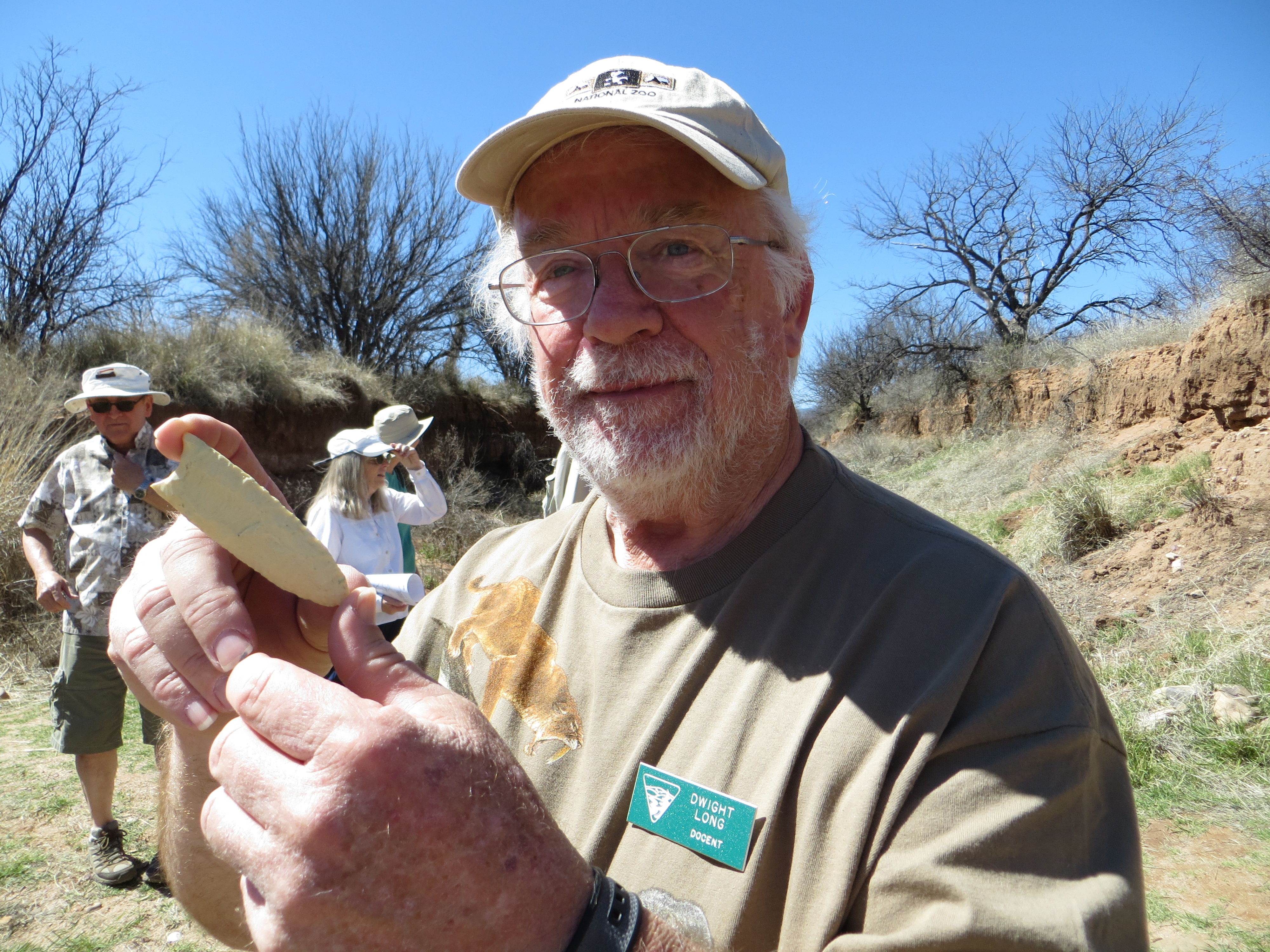
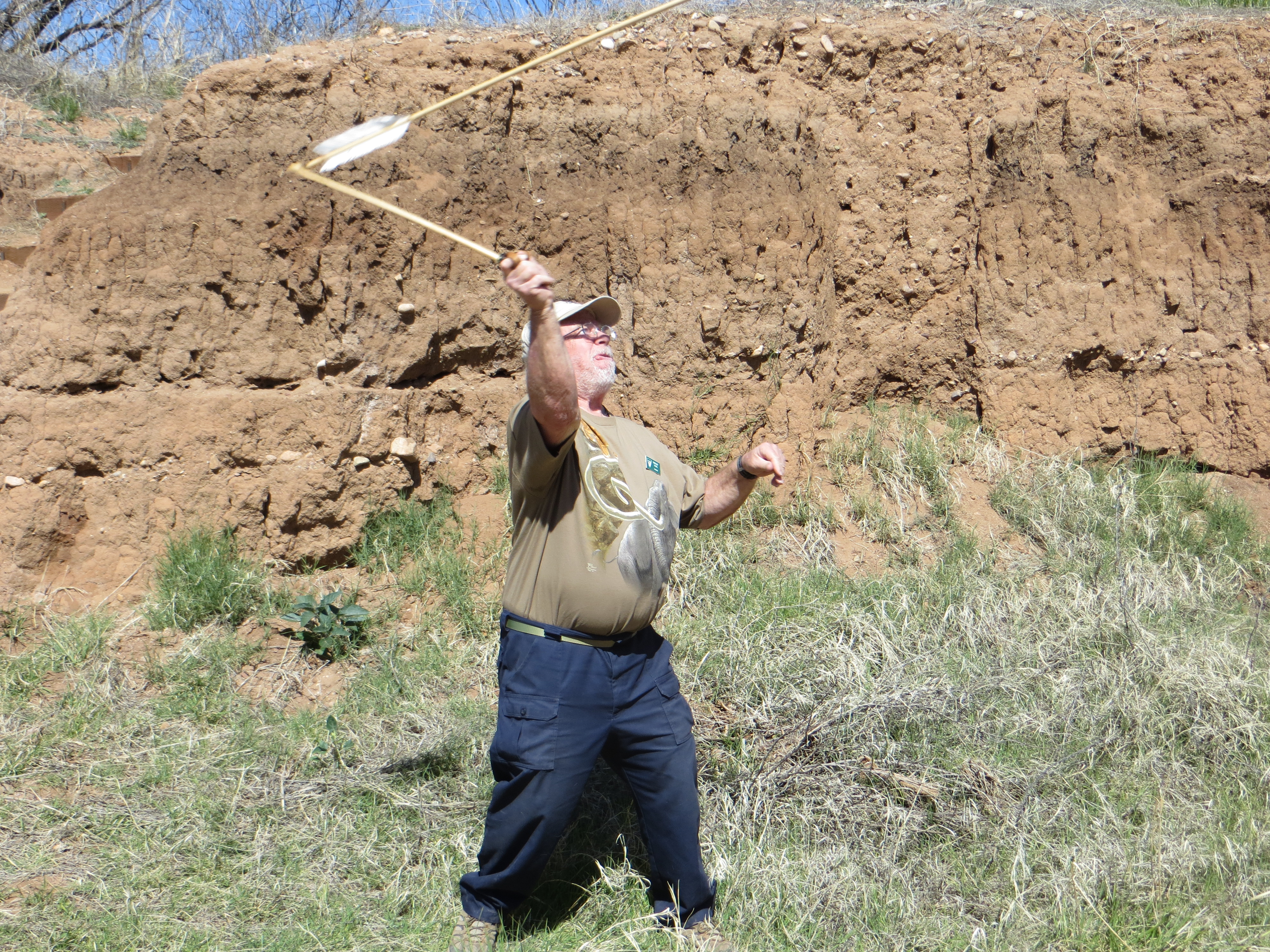
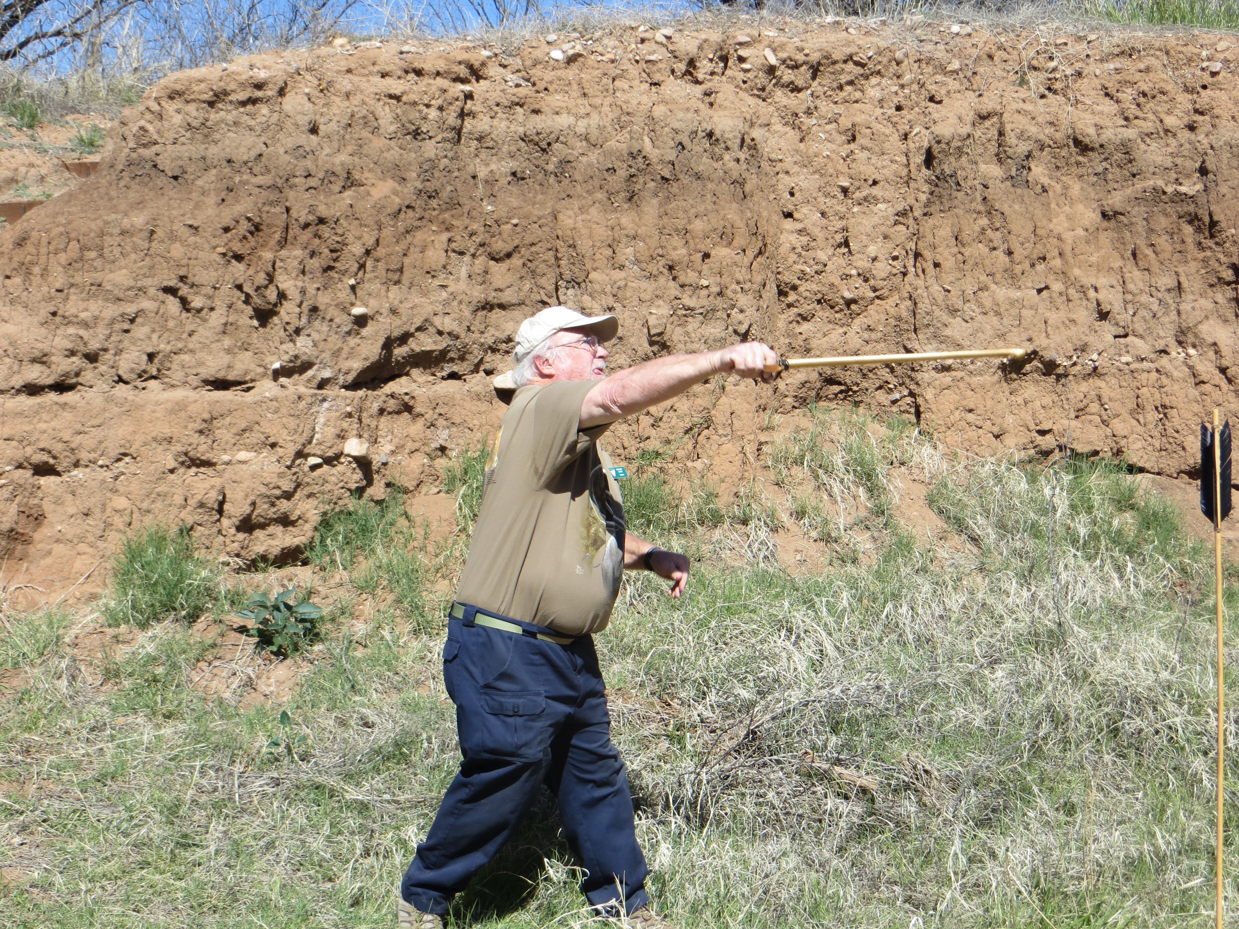
My husband and I headed to Camp Naco in southern Arizona on a Saturday morning to see where Buffalo Soldiers played baseball and learn about the outlaw Cactus League formed in 1910. Like many historic locations, the actual structure is long gone but a gifted storyteller skillfully laid out historical facts along with a few artifacts to help us to visualize the field. 

After viewing the field, we got in our cars to drive to the elementary school in the small town of Naco for his formal presentation.

This was a first for me. Naco is a place I typically drive past on a visit to Bisbee. I have an awareness that a small number of people live there but that’s pretty much it. While navigating the streets to the school, I catch a glimpse of a Mexican flag on the horizon.

The Mexican flag flies over Naco, Sonora on the southern border.

The baseball presentation was very interesting, even for a person like me who isn’t particularly into the sport. It helped me understand the popularity of a game in small towns across America and Mexico during a time without radio, television or internet.

An hour later it was time to get back in my car and drive home, but I wanted a closer look at the Mexican flag I had seen earlier. I didn’t have far to travel. Less than a block away was Towner Street which leads to the Naco Port of Entry.

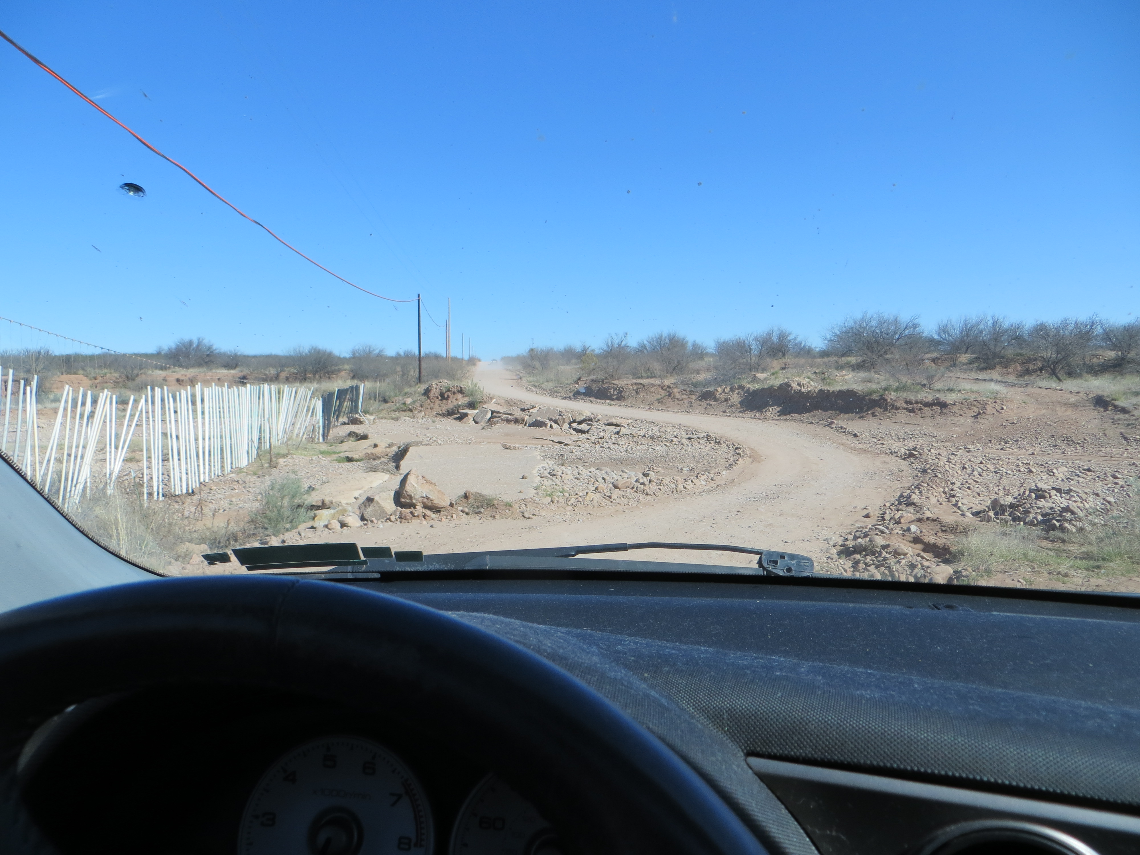
I live in southern Arizona. The idea that our shared border is part of the landscape is something those of us who live here are familiar with. I used to drive to Nogales, Arizona (about 45 minutes away) to walk over to Nogales, Sonora for a quick shopping trip and lunch. I haven’t done that in more than 15 years. I live in the southeastern corner of the state in Cochise County. I drive through a Border Patrol checkpoint inside the U.S. every time I head to Tucson. It’s not uncommon to see their vehicles in the streets here. Over the past five years it’s become a regular thing to see them in high speed pursuits of human smugglers through our communities. Turns out that most of these drivers are American teenagers recruited on social media with the promise of $1K per head. Some aren’t even old enough to have a drivers license and their sketchy driving while being chased by law enforcement has lead to serious accidents and even a couple of deaths. 

Just up the road from my home is the Army installation I worked on for more than 25 years. It is now the headquarters for the military southern border mission bringing an additional 500 Soldiers to my community and regular helicopter traffic. That’s not really all that shocking. In retirement I’ve taken up the mission of telling the stories of Soldiers who were here more than 100+ years ago to conduct a similar mission.

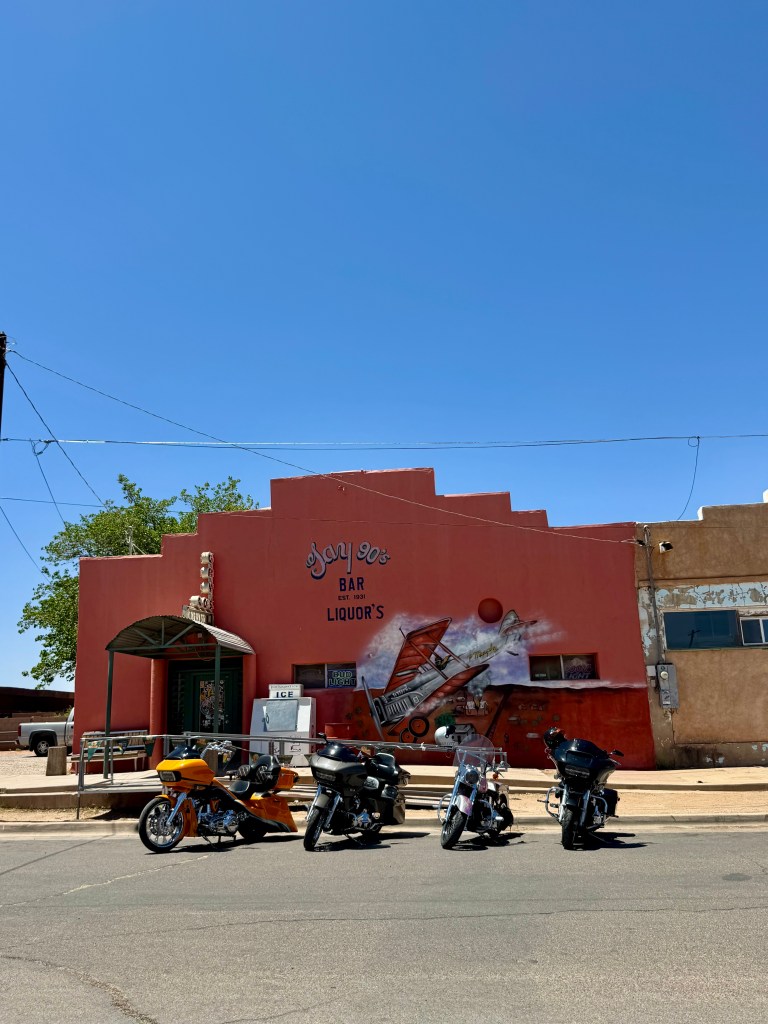
The Gay 90s Bar has been wetting border visitors’ whistles since 1931. A painting of Patrick Murphy’s accidental bombing of the town adorns the front of the building.

As I got out of my vehicle to walk down Towner Street to our border with Mexico, the view in front of me wasn’t seen through a filter of drugs, human misery, cartels and violence but one of small communities co-existing. I bumped into our baseball historian who invited me into the Gay 90s Bar for a drink and presumably colorful stories. Lou waited patiently in the car while I played documentarian so I asked for a rain check. Before I continued my stroll, the historian recommended a nice restaurant on the Sonoran side of the border and shared a story about a local entrepreneur who ran a bus service for Soldiers to visit the bustling red light district across the border. During Prohibition, visitors parked their vehicles on the Arizona side to cross over to Mexico.

Naco has earned an interesting historical footnote for being the first aerial bombardment of the continental United States by a foreign power. 

The incident took place in during the Escobar Rebellion in 1929. Rebel forces battling Mexican Federales for control of Naco, Sonora hired mercenary pilot Patrick Murphy to bombard government forces with improvised explosives dropped from his biplane. Miscalculating the locations of his targets, Murphy mistakenly dropped suitcase bombs on the American side of the international border on three occasions. This caused quite a bit of damage to private and government-owned property, as well as slight injuries to some American spectators watching the battle from across the border. A depiction of Murphy in his biplane adorns the wall of the Gay 90s bar commemorating the bombing.

When hostilities waned in the region, the Naco Hotel advertised its rooms as “bulletproof.”

The remnants of the Naco Hotel still stand. Once advertised as safe from violence on the Mexican side of the border, locals still refer to it as the Bulletproof Hotel.

Ghosts of boarded up buildings along a once busy street hint at a vibrant borderland. I look forward to coming back to the Gay 90s Bar for a thirst quencher and to learn more about the time Nancy Reagan visited and got a bit tipsy. Maybe with some liquid courage I’ll walk through the port of entry to eat a meal in Mexico.

I live in a place where everything the light touches is the border. It isn’t some distant, ominous presence making headlines. It’s a place populated with resilient people withstanding the winds of change and it’s much closer than I realized.

Faded signs on abandoned buildings line a formerly thriving thoroughfare.

Searching for Traces of the Ice Age in the Southern Arizona Desert

The Army has a saying:  No plan ever survives first contact.  I should’ve remembered that when I made plans to take part in a docent-led tour of the Murray Springs Clovis Site.  How hard can it be to travel back 13,000 years to the Ice Age in the southern Arizona desert?  By the way, I chose the hottest day of the year so far (it was nearly 90 degrees) to seek out remnants of the Ice Age.

The Murray Springs Clovis site is just south of Sierra Vista.  The Bureau of Land Management website’s instructions told me to head down Arizona State Route 90, turn left on Moson Road and then drive 1.1 miles (http://www.blm.gov/az/st/en/prog/cultural/murray.html).  So that’s what I did.  Except I drove all the way to the end of Moson Road looking for a sign to direct me to Murray Springs but never found one.

An undaunted citizen of the digital age, I pulled to the side of the road and punched up the GPS on my phone.  The GPS wouldn’t steer me wrong, right?  I fly down the road, cross the San  Pedro River, enter a maze of dirt roads running through private property and then finally encounter a locked gate at the end of the road less travelled.  The driver ahead of me came up to my window and asked me if I was lost.  When I explained that I was looking for Murray Springs he told me that I was extremely lost.  Murray Springs was on the other side of the San Pedro.  Oh dear.  Not only had my initial plan not survived first contact, but Plan B was toast too.

The GPS never lies, or does it?

The GPS never lies, or does it?

Now I had to try and retrace my route and find my way out of the maze back to the highway.  A couple of false turns later, I’m back in business.  As the lyrics of the classic Clash song, “Should I Stay or Should I Go,” run through my mind, I have a decision to make.  Do I give up completely or move on to something else? The quirky mining town of Bisbee beckons at one end of the highway and the San Pedro House at the other.  I save an exploration of Bisbee for another day and decide to pop in to the San Pedro House on my way home.  I will live to find Murray Springs another day, and figure having good directions will increase the likelihood of a future successful mission.

The San Pedro House sits near the banks of the river and is run by the Friends of the San Pedro, the same group that organized the tour I couldn’t find.  This place is a mecca for birding.  The San Pedro River is a super highway for migratory birds.  They are everywhere taking advantage of dozens of feeders on the property.  You can hear the high pitch chirping of hummingbirds as they whizz past you.  I know my curiosity will compel me to return for an avian adventure.

The San Pedro House is a birding mecca.

The San Pedro House is a birding mecca.

I go inside the house to communicate my search for Murray Springs using human sounds with the very nice lady at the register (although I get the sense she speaks fluent bird chirps) .  She provides me with some intelligence that explains my failure to find the site on my first attempt.  The sign on the road is missing and there is only one road you turn right on off of that section of Moson Road.  She gives me a map.  Armed with actionable intelligence, I’m ready to storm the objective.

Skeptical but determined, I head down the road on my third attempt to find Murray Springs.  I turn at what looks like a cattle gate.  I pull up closer to read the sign attached to it, and notice a small BLM symbol on it.  Maybe the third try is a charm?  I take the risk and continue down the dirt road to finally reach the Clovis site.  I’m ecstatic.

Eureka!

Eureka! Good intelligence = mission success.

I pull in to the large parking lot, grab some water and hit the trail.  It’s a easy walk with lots of signs to direct me to the interpretive loop.  The loop crosses a stream bank.  The steps that lead down to it and back up again are mildly challenging.  In the stream bank, I notice three arrows sticking in the ground.

Interesting, but definitely not Clovis artifacts.

Interesting, but definitely not Ice Age artifacts.

I assume they are somehow related to the docent led tour I missed and find them interesting enough to stop and photograph them.  I take a look around and meet Chris Long, a docent for the Friends of the San Pedro.

She begins to point out some of the geological features of the streambed to me. The dark layer is a black mat that was formed 12,900 years ago.  Fossils are found at the bottom of that mat.  Her husband Dwight is leading today’s tour and Chris tells me the group should be coming back shortly and sure enough they do.

With the arrival of Dwight and the tour group, the meaning of the arrows is explained.  Using a throwing tool called an atlatl, it is believed that Clovis people used them to hunt game.  Aztecs and Mayans also used the tool.  Europeans used a version of the same thing.

The Murray Springs Clovis Site was created by nomadic hunters who stayed in the area to pursue large game, such as mammoth, horses, and bison. Archaeologists call them “Paleoindians.”   The term Clovis comes from the first site archaelogists found near Clovis, New Mexico in the 1930s with their distinctive artifacts.

Dwight shows me a replica of a Clovis tool.

Dwight shows me a replica of a Clovis tool.

It is one of the most important and well documented early human sites in North America. The site has yielded the most evidence of Clovis stone tool manufacture in the entire Southwestern U.S., and the evidence of large mammal butchering and use at the site is unsurpassed. The Murray Springs Site was created between 12,000 and 13,000 years ago, in the late Pleistocene era, by a small group of Clovis people, who camped nearby, and who hunted large animals as they came down to water in the arroyo.

The excavation was done between 1966 and 1971 at Murray Springs.  It is one of six Clovis sites in the San Pedro Valley.  There are more Clovis sites in Arizona that just about anywhere else.  Dwight claims this is one of the most significant sites in the world.  Archeologists found remains of three mammoths, one which was butchered, 12 bison, camel, lions, dire wolves and other game animals.

After I get the facts, things begin to get very interesting.  Dwight picks up what appears to be a stick with the ends wrapped in rawhide.  It’s an atlatl he explains.  The stick has a small knob sticking of it.  The shaft of the arrows have an indentation at the end of them.  Hunters would fit it onto the knob of the atlatl and hurl the arrow at prey.  The atlatl puts more force into the arrow and allows it to go a further distance.  Then Dwight makes things even more interesting by picking up an atlatl, notching an arrow on to it and letting it fly down the stream bed.  Even today, this ice age tool is pretty impressive.

IMG_2887 IMG_2892 IMG_2893 IMG_2894

IMG_2945

Stepping way back into Arizona’s past.

Following  Dwight’s fascinating demonstration, I haul myself up the steps and out of the streambed and walk the interpretive loop.  There are signs all along the loop to explain the history and signicance of what was found at this Clovis site.  The large interpretive signs deliver a lot of information.  Benches are strategically situated beneath trees and a ramada prove relief from the sun and give visitors the opportunity to take in the scenery and process all the information.  Dwight catches up with me on the loop to bring me a handout pointing out additional details of the excavation sites.

Now that I know where the Clovis site is, I’ll definitely report for duty and catch the tour from beginning to end next time.  Humans hunting Ice Age animals sounds like something out of a movie, but the interpretive loop at the Murray Springs Clovis Site and docents like Chris and Dwight Long bring the story to life.


.


Eureka!

Eureka! Good intelligence saves the day.